Free · no account
Turn any city into a 3D print.
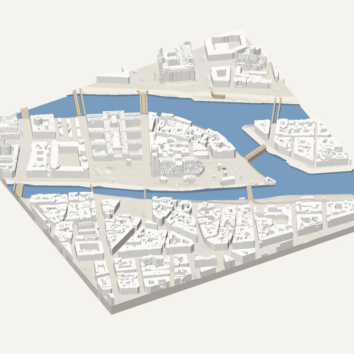
Frame a place on the map and download a print-ready model: crisp buildings at their real heights, water, parks and terrain, as one clean STL.
- 27
- ready-made cities
- 6
- regions with measured heights
- 100 m – 4 km
- any frame, anywhere
Start from a city
Pick one, or frame your own street.


How it works
Three steps from a map to the print bed.
- 01
Frame a place
Search any address or landmark and draw the area on the map: a square or a rectangle from 100 m to 4 km, turned to follow the streets if you like.
- 02
Choose what prints
Buildings, terrain, water, parks and trees are separate layers. Keep roofs clean and model-like, or switch to raw survey detail for a landmark.
- 03
Check it, download it
Turn the model in 3D exactly as it will come off the bed, then download one closed STL in millimetres. No account, no watermark.
Made to be printed
An architect's model, not a scan.
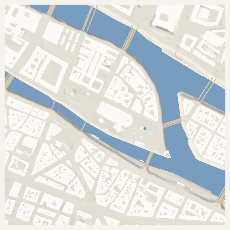
Walls are straight
Buildings are their mapped outlines extruded straight up. Courtyards and setbacks are traced into clean edges, not left as a blurry scan.

Heights are measured
Where a national laser survey exists, every roof sits at the height the aircraft recorded. A cathedral towers over its square because it really does.

Landmarks keep their shape
The tallest and most complex buildings in a frame are sampled more finely, so a tower tapers and an opera house slopes into the water.
Coverage
Works everywhere. Measured where the data is open.
In these regions building heights come from airborne laser surveys. Anywhere else they are estimated from map data, and the studio labels the model as estimated.
| Region | Survey | Sampling | Licence |
|---|---|---|---|
| England | Environment Agency National LIDAR Programme | 1 m | Open Government Licence v3.0 |
| Flanders | Digitaal Hoogtemodel Vlaanderen II | 1 m | Modellicentie Gratis Hergebruik Vlaanderen 1.0 |
| France | IGN LiDAR HD | 0.5 m | Licence Ouverte 2.0 |
| Netherlands | Actueel Hoogtebestand Nederland (AHN) | 0.5 m | CC0 1.0 |
| North Rhine-Westphalia | Geobasis NRW DOM1 / DGM1 | 1 m | Datenlizenz Deutschland – Zero 2.0 |
| Norway | Kartverket Høydedata (NHM) | 1 m | CC BY 4.0 |
| Rest of the world | Estimated from OpenStreetMap | — | ODbL |
For Claude, ChatGPT and other AI assistants
Ask your assistant for a city model.
CitySlicer has an MCP server. Add it as a connector and the assistant builds the model, shows it in the chat and hands you the STL.
Guides
Print it well the first time.
How to 3D print a city: a step-by-step guide
Turn any place into a 3D-printed city model: pick a frame, choose layers, preview in 3D, download one STL, then slice and print it. Free, no account.
From map to STL: how a city becomes a 3D print
How map data becomes a printable STL: building outlines, heights, terrain and water, why it is one closed solid, and what STL units mean.
LiDAR to 3D print: using laser-survey data
What airborne LiDAR is, how surface and terrain models differ, why raw scans print badly, how roofs become flat levels, and which regions are covered.
Best print settings for 3D-printed city models
Starting-point FDM settings for city models: nozzle, layer height, scale vs detail, infill, base, bed adhesion and material. Adjust for your printer.
- Is CitySlicer free?
- Yes. There is no account, no subscription and no watermark. You frame an area, check the model in 3D and download the STL.
- Where do the building shapes come from?
- Outlines come from open map data, so every wall is a straight vertical plane. In France, Norway, the Netherlands, England, North Rhine-Westphalia and Flanders, heights and roof levels come from national airborne laser surveys. Elsewhere they are estimated from map data, and the studio says so.
- Do I need supports to print a city model?
- Almost never. The model is one closed solid that rises straight from its base. The only overhangs are the openings of a few landmarks, such as an arch, and they are small enough to bridge.
- How big an area can I print?
- Frames run from 100 m to 4 km per side, as a square or a rectangle, turned to follow the streets if you like. Around 500 m to 1 km on a 180 mm print keeps individual buildings readable.
- Which file do I get?
- One binary STL in millimetres, sized to the print width you choose. It opens directly in PrusaSlicer, Bambu Studio, Cura and other slicers.